

Yellow weather warnings for thunderstorms have been issued across vast swathes of the UK for the next three days, with the Met Office warning of a “danger to life” from flooding even as millions face hosepipe bans following the driest spring in 132 years.
The weather alert is already in place for parts of Northern Ireland today, running from 11am until 8pm, before expanding to cover most of England on Friday and Saturday. The warnings threaten sudden flooding, power cuts and train cancellations across the affected regions.
Western Northern Ireland, including Londonderry/Derry, Coleraine and Enniskillen, faces the immediate threat today, with the Met Office cautioning that “fast flowing or deep floodwater is possible, causing a danger to life.” The warning area will dramatically expand on Friday to cover northeast England before encompassing much of the country through Saturday.
Wales, Cornwall, Merseyside, Devon, Somerset, Dorset and the Scottish border are forecast to avoid the worst of the stormy weather, offering some respite to residents in these areas.
Drought Meets Deluge
The thunderstorm warnings come at a time of extraordinary contrast in British weather conditions, with the wet weather arriving just as regions across the UK declare drought status and implement hosepipe bans following months of below-average rainfall.
A warm and humid airmass is moving across the country fuelling thunderstorms and heavy downpours over the coming days,” said Met Office Chief Meteorologist Jason Kelly. More warnings could be issued for the weekend and early next week. Keep an eye on the Met Office forecast for updates as the picture develops.”
The paradox of flood warnings during drought conditions highlights the complexity of Britain’s weather patterns, where prolonged dry spells can be punctuated by intense rainfall that struggles to penetrate parched ground, leading to surface water flooding rather than reservoir replenishment.
Millions Under Water Restrictions
Currently, South East Water and Yorkshire Water have hosepipe bans in effect, whilst Thames Water and Southern Water’s restrictions will begin next week. The bans affect approximately 10 million households across England.
Yorkshire Water implemented its ban on 11 July, impacting five million customers across West Yorkshire, South Yorkshire, the East Riding of Yorkshire, parts of North Lincolnshire, most of North Yorkshire and parts of Derbyshire. The company cited reservoir levels that haven’t increased since late January.
South East Water’s ban, affecting 1.4 million households in Kent and Sussex, began on 18 July. Thames Water will restrict usage from 22 July for customers in Gloucestershire, Oxfordshire, Berkshire, Wiltshire and Swindon, whilst Southern Water’s ban starts on 21 July for residents across much of Hampshire and all of the Isle of Wight.
Severe Weather Impacts
The Met Office has outlined multiple potential impacts from the coming storms:
- Spray and sudden flooding could lead to difficult driving conditions and road closures
- Train and bus services face delays and cancellations where flooding or lightning strikes occur
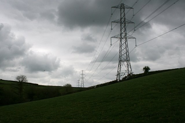
- Power cuts could affect homes and businesses
- Building damage possible from floodwater, lightning strikes, hail or strong winds
- Some communities might become cut off if roads flood
Heavy showers and some thunderstorms are expected to develop across parts of southeast Scotland and northeast England on Wednesday, clearing east into the North Sea later in the afternoon,” the Met Office stated. “Whilst some places may see relatively small amounts of rainfall, a few locations could see 15-25mm of rain in an hour.”
Record-Breaking Conditions
The UK has experienced its driest spring since 1893, with England particularly affected. The Environment Agency has declared drought status in multiple regions, including Yorkshire and the North West, with reservoir levels running at approximately three-quarters of their normal capacity.
“We’ve had one of the driest springs on record, with Yorkshire being declared in drought,” Yorkshire Water confirmed. Usually, spring is a time when our groundwater sources and reservoirs continue to be topped up by changeable weather, but this has not been the case in 2025.
The situation has been exacerbated by the warmest June on record, leading to increased water demand at a time when supplies are already stretched. In some areas, water usage has reached levels not seen since the severe drought of 2022.
Storm Preparations Urged
The Met Office is advising residents in affected areas to prepare for potential flooding and power cuts. Consider if your location is at risk of flash flooding. If so, consider preparing a flood plan and an emergency flood kit,” officials advised.
Motorists are being warned to check road conditions before travelling, with the potential for spray, standing water and hail creating hazardous driving conditions. Public transport users should check timetables as delays are likely.
“People cope better with power cuts when they have prepared for them in advance. It’s easy to do; consider gathering torches and batteries, a mobile phone power pack and other essential items,” the Met Office guidance states.
Climate Change Concerns
Dr Amy Doherty, Met Office Climate Scientist, noted that whilst formal climate attribution studies haven’t been conducted for the current weather patterns, past research shows human influence has increased both the occurrence and intensity of extreme weather events.
“Our Met Office climate projections indicate that hot spells will become more frequent in our future climate, particularly over the southeast of the UK,” Dr Doherty explained. “Numerous climate attribution studies have shown that human influence increased the chance that specific extreme heat events would occur.”
Looking Ahead
The unsettled pattern is expected to continue into next week, with the Met Office forecasting showers and thunderstorms at times, although some drier, brighter interludes are also likely. Temperatures will remain near normal or warm for the time of year.
By mid-week, conditions may begin to settle from the west, though eastern areas could still see showers. The rather changeable pattern is likely to continue through early August with spells of rain or showers mixed with drier, brighter days.
Water companies have indicated that hosepipe bans will remain in place until there is “prolonged and significant rainfall” that allows reservoir levels to return to safer levels. Given the current forecast, restrictions are likely to continue for several weeks at minimum.
As Britain grapples with these extreme weather contrasts, the situation serves as a stark reminder of the challenges posed by changing climate patterns and the need for long-term water resource management strategies.
Follow for more updates on Britannia Daily